New Exhibition At HMML Terra Incognita Tracing Western Understanding Of The Earth Through Maps
New Exhibition at HMML Terra Incognita Tracing Western Understanding of the Earth Through Maps
In the 21st century, we are accustomed to locating geographical information at the touch of a screen or click of a mouse. Almost instantaneously we find physically accurate road maps, city maps and information about the exact location of specific entities. But this wasn’t always the case.
A new exhibition at the Hill Museum & Manuscript Library (HMML) at Saint John’s University illustrates how our concept of the world developed over a span of five centuries. In a series of 19 maps from the Special Collections of HMML and Saint John’s University: “Terra incognita: Tracing Western Understanding of the Earth through Maps,” gives visitors a sense of the changing view of the world from the 13th century to the early 19th century.
“Early mapmakers attempted to fill in knowledge where data was insufficient. In many maps, this led to the notion of Terra incognita – unknown land,” said Dr. Matthew Heintzelman, curator of the HMML exhibition and curator of the Austria/Germany Study Center and curator of rare books at HMML. “Map-making was practiced across Europe, and the maps in this exhibition were published in Venice, London, Paris, and elsewhere. As new areas came into contact with the European explorers, new details filled out gaps in their understanding. And, the process continues. Our understanding of maps continues to evolve, as do the ways mapmakers attempt to provide accurate representations.”
The exhibition begins with the oldest map in the Saint John’s University collections, a 13th century map from a work by Isidore of Seville (ca. 560-636), a Spanish bishop, scholar and a Doctor of the Church. The map depicts the world as divided into three parts – Asia, Europe, and Africa.
The earliest map (1698) of the Upper Midwest in the Saint John’s collections is also included in the exhibition. The map accompanies a travel account by Father Louis Hennepin, OFM (1626-1705), a familiar name to many Minnesotans. Fr. Hennepin traveled into Wisconsin and Minnesota in the 1670’s as an extension of the peregrinations of René Robert Cavalier, Sieur de La Salle. Fr. Hennepin’s report of the St. Anthony Falls was the first printed reference to this natural landmark.
The map of the Brenner Railway (1864-1876) created by Carl von Etzel is perhaps the most uniquely shaped map in the exhibition. Built in the mid-19th century, the Brenner Railway was a technological marvel for its time due to its route though extreme elevations and terrain in mountainous Austria. The map follows the narrow path of the Brenner Pass, and turns when the railway’s route turns. Of the original larger set of materials related to the construction of the railway, Saint John’s only owns this uniquely styled, fold-out map and an accompanying chart showing the elevations.
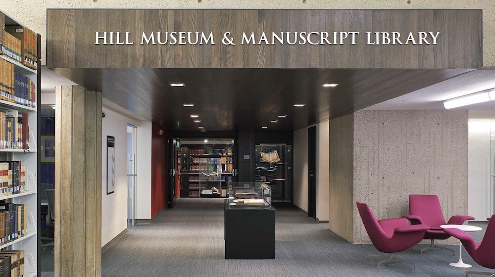
The exhibit is free and open to the public in HMML’s Reading Room now through May 2017. The HMML entrance is located on the lower level of Alcuin Library; the Reading Room is open during regular Alcuin hours. Those wanting more information about visiting HMML should visit www.hmml.org or call 320-363-3514.
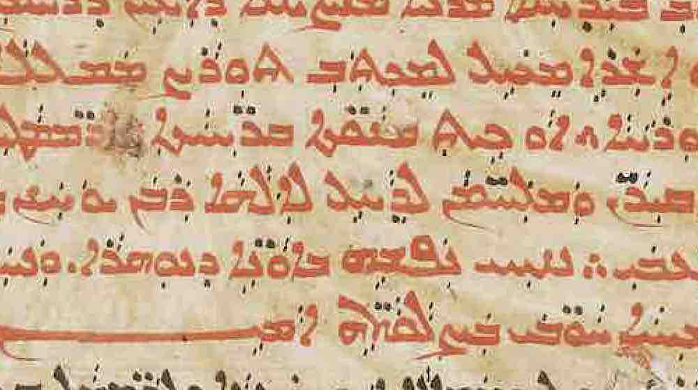
The Hill Museum & Manuscript Library’s mission is to identify, digitally photograph, catalog and archive endangered manuscripts belonging to threatened communities around the world. Having formed partnerships with over 540 libraries and archives, HMML has photographically preserved over 140,000 manuscripts from Europe, Africa, the Middle East and India.
HMML is currently preserving manuscript collections in many global sites, including Lebanon, Iraq, Jerusalem, Egypt, Mali and Malta. These resources are available through the recently launched vHMML, at www.vhmml.org, HMML’s new online environment for manuscript research.